
Travel guide
Namibia Travel Guide
Namibia is the country travellers come to when they want the silence of empty landscape together with the infrastructure that makes a self-drive trip realistic without a guide — fuel stations, mobile signal on the main routes, rest camps inside the national parks and a thriving private lodge sector. Most trips run as a loop of long gravel days out of Windhoek, so how self-drive actually works here decides more about the journey than the list of stops. The empty road between two lodges is part of the trip, not the gap between its sights.
Updated 2026-09-19
Deep dives
Deep dive
The Atlantic Coast: Swakopmund, Walvis Bay and the Skeleton Coast →
The fog, the shipwrecks, the seal colonies and the surprising ocean bounty off a coastline surrounded by pure desert all trace back to one cold ocean current. How the Benguela shapes Swakopmund, Walvis Bay and the Skeleton Coast.
Deep dive
Damaraland and Spitzkoppe: A Landscape Built on Adaptation →
How Damaraland's landscape and its animals adapted together, from desert elephants to granite domes. Elephants that can go days without drinking, domes shaped by the same slow weathering that exposed ancient rock art, and a conservancy model that turned wildlife into an economic asset.
Deep dive
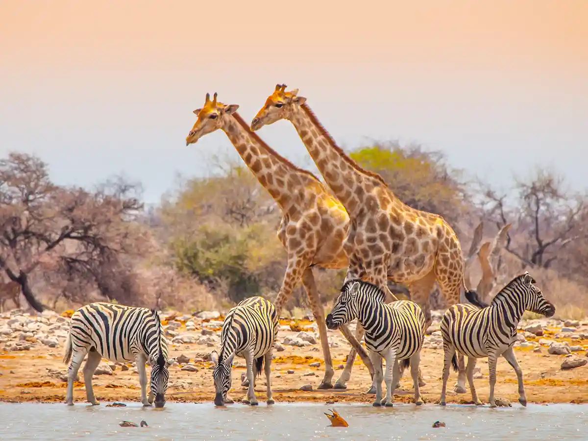
Etosha National Park: How the Waterhole Circuit Works →
Etosha is too vast and too dry to game-drive by distance — the whole park is organized around a handful of permanent waterholes instead. How that changes which camp to pick and when to drive.
Deep dive
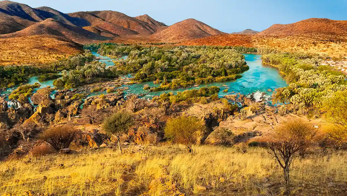
Kaokoland, Kunene River and Epupa: The Far North-West →
In Namibia's remote far north-west, one river explains almost everything. Where people live, how they travel, and why the Himba built a pastoral culture around herding rather than farming — reading Kaokoland through its one permanent water source.
Itinerary
Namibia in Two Weeks: The Booking-Window Loop →
A 12-16 day self-drive loop out of Windhoek covering the dunes, the coast, the desert elephants and Etosha's waterholes. The route only works if the in-park camp bookings are locked in nearly a year ahead, before the days are planned at all.
Deep dive
Sossusvlei and the Namib-Naukluft Dunes: Three Pans, One River's Ghost →
Sossusvlei, Deadvlei and Hidden Vlei aren't the same stop repeated three times — how to read the difference. The dunes around them are built from sand a river carried here millions of years before it stopped arriving.
Deep dive
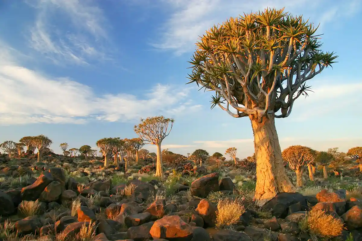
Southern Namibia: Quiver Tree Forest, Kolmanskop and the Fish River Canyon →
A canyon carved over hundreds of millions of years, trees that store water to survive for centuries, and a diamond town the sand swallowed in decades. Southern Namibia's three landmark stops are the same desert force at three different speeds.
Ways to Experience This Destination
Tarred B-roads (B1 Windhoek-Etosha, B2 Windhoek-Walvis Bay) cover the spine of the country; everything off the spine is gravel. International Driving Permit + home licence required. Drive on the left. 4x4 is mandatory for the Kunene/Marienfluss/Hartmann/Sandwich Harbour and useful but not essential for Damaraland and the deeper southern routes. Bring two spare tyres and a satellite-messenger or in-car satellite phone for the remote sections; mobile signal is reliable on the B-roads, patchy on most C-roads, absent in the deep north-west.
Two nights at Sesriem (inside the park) or Sesriem area (outside the gate) is the standard. Camera-ready: pre-dawn departure on the second morning to Deadvlei before the light turns hard. The shuttle from the 2WD parking to Sossusvlei runs every 20 minutes during park hours.
Three nights minimum split between Okaukuejo and Namutoni (or Halali in the middle), bookings opening 11 months ahead at NWR. Floodlit waterholes operate after dark for game viewing without a guide. Big-five potential, with the eastern Fischer's Pan side often quieter than the central Okaukuejo loops.
Three to four days from the C39/C40 turn-off. Desert elephants on guided drives from Palmwag or Damaraland Camp; Twyfelfontein engravings in 90 minutes; Spitzkoppe community campsite for a single dramatic sunset. The Brandberg White Lady walk is a four-hour return hike with a mandatory guide.
Two to three nights in Swakopmund or Walvis Bay covers the Sandwich Harbour 4x4 day, kayaking with seals at Pelican Point, sandboarding on Dune 7, and a Cape Cross day trip up the C34. Swakopmund is the only place in the country to stock fresh-fruit-and-vegetable supplies for a four-week trip — the inland supermarkets thin out fast.
Windhoek's Christuskirche, Independence Memorial Museum and the National Museum of Namibia (Owela section) cover the country's pre-colonial, colonial and independence history. Käpps & Konditorei in Swakopmund and Joe's Beerhouse in Windhoek anchor the German-Namibian food scene; the country also has world-class biltong, game-meat braais and a brewery culture inherited from the German colonial period.
City guides
Frequently asked questions
Sossusvlei and Etosha together cover the country's two signature landscapes — red dunes and waterhole wildlife — in a manageable loop out of Windhoek. Damaraland, the coast and the far north are each worth adding on a longer trip, but a week is tight for more than these two anchors plus the driving between them.
Yes — Namibia borders Botswana and South Africa, and Victoria Falls lies a short drive beyond the eastern tip of the Caprivi (Zambezi) region; self-drive itineraries commonly extend east through that region toward the falls and Chobe, or south across the border into South Africa. Rental agreements need a cross-border letter for any of these extensions, arranged with the hire company in advance.
Namibia is widely regarded as one of the more straightforward African countries for solo self-drive, with good roads on the main routes and a well-established lodge and rest-camp network. The practical risks are the same ones affecting every self-driver — gravel-road driving technique, fuel planning and avoiding dusk/dawn driving — rather than anything specific to travelling alone.
Entry rules, visa types and practical notes live on the Namibia overview.
Visaja keeps this page's contact details and visa guidance under continuous review — still, requirements can change at short notice, so confirm the essentials with the mission or the official government portal before you travel.